Flights overhead
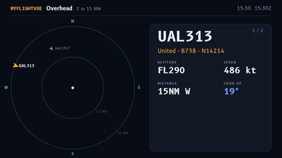
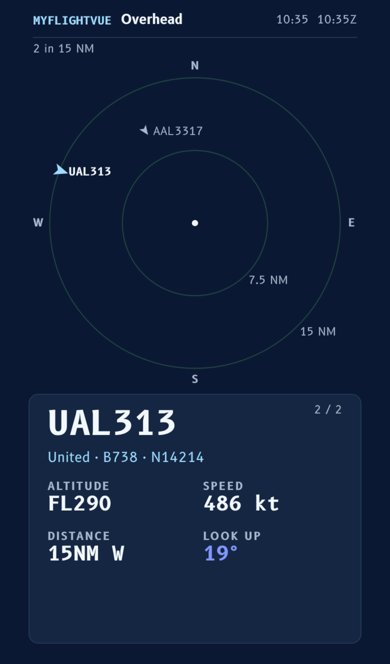
A radar of aircraft around you, highest in the sky first: who they are, aircraft type, altitude, speed and where they're flying from and to, with a short trail behind each.
MyFlightVue turns any screen into a live plane-spotting display: aircraft overhead with their routes, a departure board, alerts for interesting planes, ISS passes and airport weather. Put it on a TV, a tablet on a shelf, or your phone.
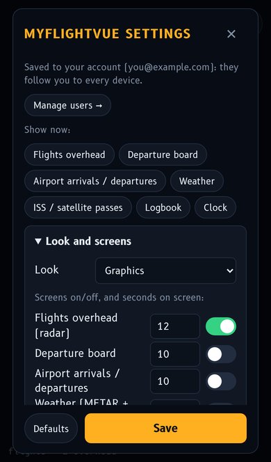
KJFK, KLGA. How do I find a code?Turn each screen on or off and set how long it stays up in Settings → Look and screens. Use ← → or the "Show now" buttons to jump to one.
A radar of aircraft around you, highest in the sky first: who they are, aircraft type, altitude, speed and where they're flying from and to, with a short trail behind each.
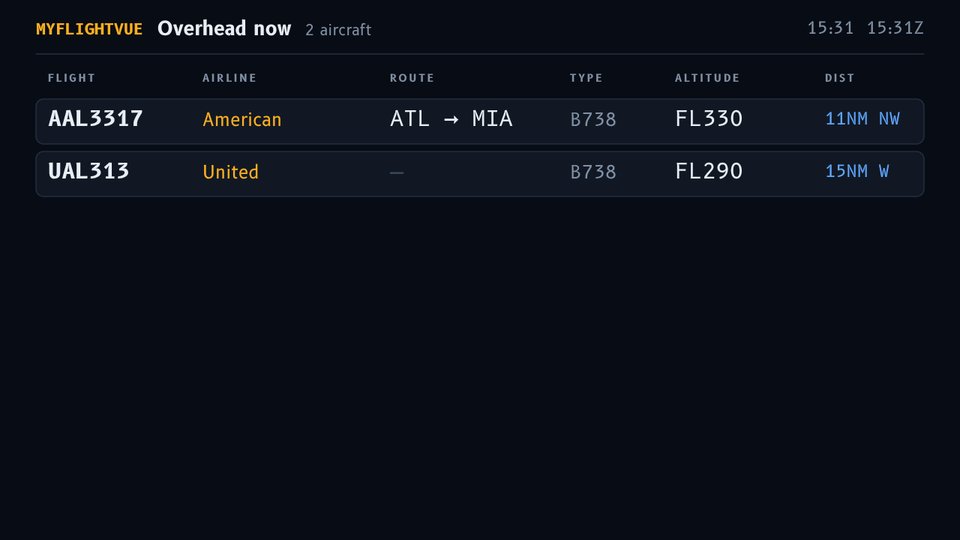
Everything nearby as an airport-style board: flight, route, type and height. Good for "what was that?" at a glance.
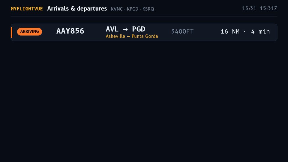
Planes landing at and taking off from your airports right now, worked out from what's low and close to each field.
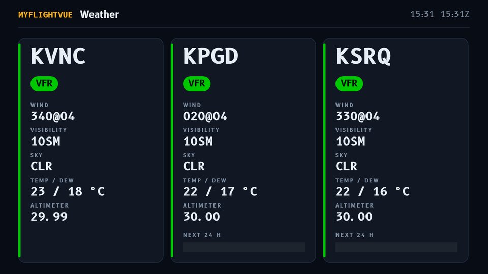
Current conditions and the forecast for each airport, color-coded so you can tell flying weather at a glance. What the colors mean.
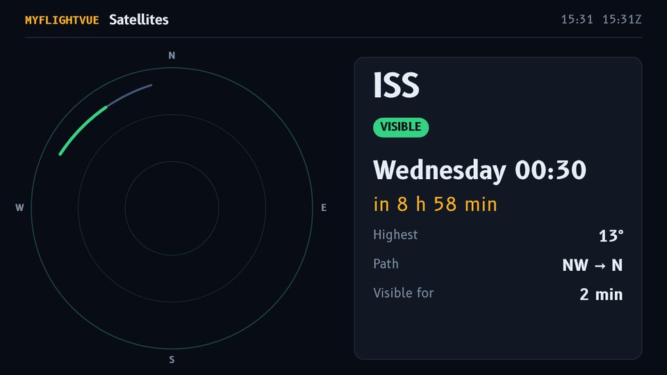
When the Space Station (or other satellites you pick) will pass over, where to look, and whether it will be visible to the naked eye.
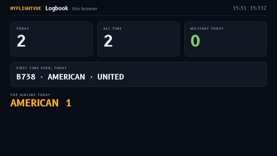
Your spotting tally: aircraft seen today and all time, military today, aircraft types and airlines you saw for the first time ever, and today's top airline.
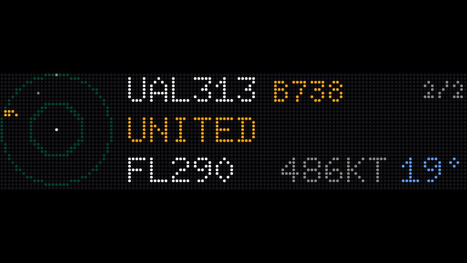
Graphics is clean and readable from across the room. LED panel imitates a glowing dot-matrix sign, like the physical FlightVue built on real LED panels. Switch in Settings → Look. Settings → Colors picks MyFlightVue (cobalt and sky blue) or Airport board (yellow and white on black, like a departures board). Weather and alert colors stay the same in both.
Every screen has a tall layout when you hold it upright and fills the whole screen when you turn it sideways. Swipe left or right to change screens; the dots at the bottom show where you are.
When something interesting comes within range, MyFlightVue interrupts the rotation and shows it full screen. Each aircraft alerts once, then waits (30 minutes by default) before it can alert again.
| Alert | What triggers it |
|---|---|
| Emergencies | Aircraft squawking 7500 (hijack), 7600 (lost radio) or 7700 (emergency) |
| Military | Military aircraft |
| Widebodies | Big twin-aisle jets: 747, 777, 787, A330, A350, A380 and more |
| Helicopters | Any rotorcraft |
| Aircraft types | Your list of type codes, e.g. A388, B748, C17 |
| Airlines | Your list of airline codes, e.g. UAE, BAW (Emirates, British Airways) |
| Callsigns / tails | Specific flights or registrations; * is a wildcard, e.g. N12* |
| ISS pass | A visible pass of a satellite you follow is about to start |
Each airport gets a color from how low the clouds are and how far you can see. It's the same scale pilots use, and a handy "is it nice out?" check.
| Color | Means | Clouds / visibility |
|---|---|---|
| VFR | Good, clear-ish weather | Clouds above 3,000 ft, over 5 miles |
| MVFR | Marginal: lower clouds or haze | 1,000–3,000 ft, 3–5 miles |
| IFR | Poor: low clouds, rain, fog | 500–1,000 ft, 1–3 miles |
| LIFR | Very poor: thick fog or very low cloud | Below 500 ft, under 1 mile |
The strip under each airport is the forecast for the next hours in the same colors. Weather is for curiosity only; never use MyFlightVue for real flight planning.
myflightvue.com/app/?kiosk.--kiosk "https://myflightvue.com/app/?kiosk".Keys: S settings · F full screen · ← → change screen (or swipe on a phone).
| Setting | What it does |
|---|---|
| Follow me | Use this device's live location (on by default; set on each device, not synced). Off, or location blocked: the saved latitude/longitude |
| Radius | How far out to look for aircraft (nautical miles; 15 is a good start) |
| Lowest angle above horizon | Skip planes too low on the horizon to see; raise it if trees or buildings block your view |
| Order | Highest in the sky first (what you can see) or closest first |
| Trails / routes | Show where each plane has been and its origin → destination |
| Skip empty screens | Don't show a screen with nothing on it (e.g. no planes) |
| Arrivals radius / below | What counts as arriving or departing at your airports |
| Satellites | NORAD numbers to follow: 25544 ISS, 48274 Tiangong, 20580 Hubble |
Defaults resets everything. Changes reach your other signed-in screens within about two minutes.